Geofencing: What It Is and 5 Benefits in Fleet Management
In this article, discover how Geofencing technology can transform the way your company tracks vehicles, machines, and teams. Learn what it is, how it works, explore 5 of the main benefits of this solution, and see practical examples of use in sectors such as logistics, field services, construction, and private security.
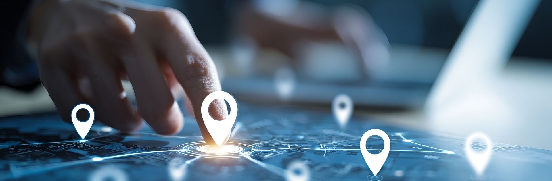
Table of Contents
Introduction
In an increasingly competitive market, companies are looking for solutions that allow them to gain efficiency, reduce costs, and improve security. One of the technologies that has helped the most in this regard is Geofencing. But what exactly is Geofencing and how can it bring advantages to your business, especially when combined with GPS monitoring and a good fleet management software?
What is Geofencing?
Geofencing is a technology that creates a "virtual fence" around a defined geographic location on a digital map. When a vehicle, machine, or employee equipped with GPS enters or leaves that delimited area, the system automatically sends alerts or records the event.
In simple terms, it is like placing an "invisible perimeter" around strategic locations for your business – warehouses, loading zones, important clients, or even restricted areas.
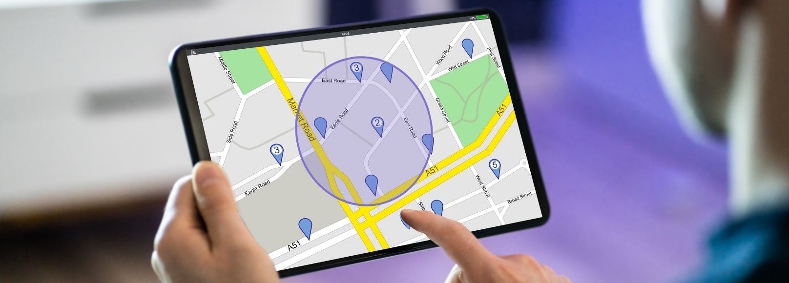
How does Geofencing work?
- Area definition – The manager defines the perimeter coordinates in the fleet management software (for example, a 200-metre radius around a client).
- Real-time GPS monitoring – Vehicles or equipment continuously communicate their position to the system.
- Automatic alerts – When the vehicle enters or leaves that zone, the manager receives a notification or the event is recorded for reports.
Main benefits of Geofencing for companies
- Greater operational control - With integrated GPS monitoring, the manager knows exactly when vehicles enter or leave critical zones, ensuring greater precision in delivery and collection times.
- Cost reduction - Route and schedule control avoids unnecessary detours, reduces fuel consumption, and minimises overtime.
- Improved security - Real-time alerts help prevent unauthorised access to restricted areas and detect suspicious movements of vehicles and machines.
- Productivity and efficiency - Fleet management software with Geofencing facilitates task organisation, optimises routes, and improves communication with drivers.
- Reports and decision-making - The history of geozone entries and exits generates useful reports for audits, performance analysis, and strategic planning.
Geofencing Use Cases in Business
Geofencing technology has been gaining increasingly more space in operations management. By creating "virtual fences" at strategic locations, companies can monitor movements in real time, automate processes, and improve efficiency. Here are some of the most common scenarios where Geofencing makes a difference.
Distribution and Logistics – Cargo and Delivery Monitoring
In distribution, time is a critical factor. With Geofencing, it is possible to create virtual zones around warehouses, distribution centres, and clients. As soon as the vehicle enters or leaves that area, the system automatically records the event. This control allows:
- confirming that deliveries were made at the correct location;
- measuring loading and unloading times without depending on manual reports;
- identifying delay patterns and optimising future delivery routes.
The result is greater transparency and reliability in customer service.
Field Services – Ensuring Compliance with Work Zones
Technical assistance, cleaning, maintenance, or inspection companies can use Geofencing to ensure that technicians comply with their assigned service areas. Upon arrival at the location, the system performs an automatic "check-in"; upon departure, it records the time of exit. This feature:
- eliminates the need for manual records;
- facilitates contract compliance;
- allows quick rescheduling of tasks when a technician finishes early, improving productivity.
Furthermore, it provides the client with clear proof that the work was actually carried out at the agreed location and time.
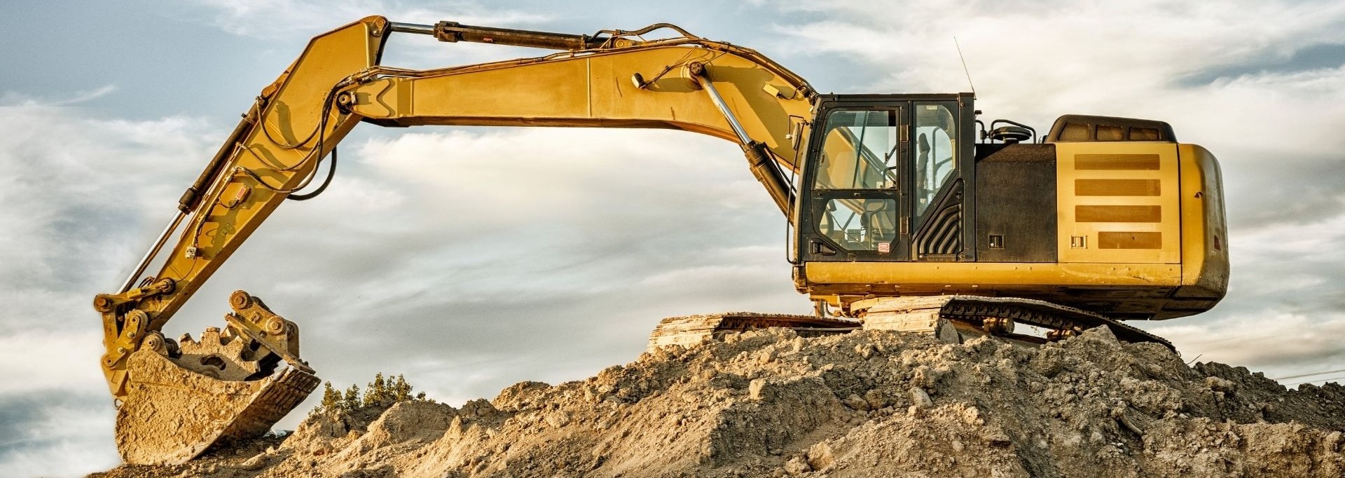
Construction – Machine and Equipment Control
On construction sites, Geofencing becomes an ally in asset management. By defining virtual fences around work fronts, the system can:
- send alerts if a machine leaves the perimeter outside of working hours, reducing the risk of theft;
- accurately record the usage time of each piece of equipment, facilitating cost allocation to each project;
- improve on-site security by identifying unauthorised movements.
With this data, site managers can better plan machine usage and predict future needs.
Private Security – Alerts for Off-Hours Movements
In the area of security, Geofencing acts as a "digital watchman". By delimiting perimeters around warehouses, car parks, or sensitive buildings, the company receives:
- immediate alerts when vehicles, machines, or other assets enter or leave outside the defined hours;
- automatic patrol records, useful for audits and reports;
- faster response to intrusions, minimising risks and losses.
This type of control also contributes to a greater image of rigour towards clients and insurers.
Geofencing combined with fleet management software
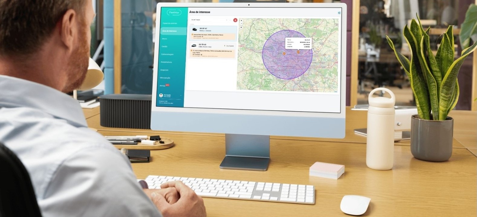
Integrating Geofencing with fleet management software goes beyond simply "seeing on the map" where vehicles are. The combination of these two technologies transforms operations into an intelligent system, capable of collecting data, generating alerts, and supporting decisions in real time.
When GPS location is accompanied by configured geozones, the manager has a complete control panel:
- Immediate alerts whenever a vehicle enters or leaves pre-defined areas, avoiding detours and improving delivery punctuality.
- Automatic recording of time spent at each location, which allows measuring productivity, loading/unloading times, and meeting service level agreements.
- Route planning based on real data: the history of geozone entries and exits helps identify bottlenecks, faster routes, and delay patterns.
- Simplified team management: the software indicates which vehicles are closest to a new service, reducing response times and mileage.
- Centralised reports: all information is recorded for audits, cost analysis, and continuous improvement.
The result is a more efficient, secure, and transparent operation. By linking Geofencing to fleet management, the company can reduce operational costs, improve communication with clients (with more predictable arrival times) and gain data-driven decision-making capability, instead of relying on assumptions.
Conclusion
Geofencing is no longer just an "extra" feature and has become a strategic ally for companies that want greater control, efficiency, and security in their operations. By investing in fleet management software that includes advanced GPS monitoring, your company can reduce costs, increase productivity, and provide better customer service.
➡️ For reference, you can explore FleetMax's features at fleetmax.eu or request a free, no-obligation demo — to see if this solution suits your company's needs.